Here are some other tidbits I scrounged off the internet:
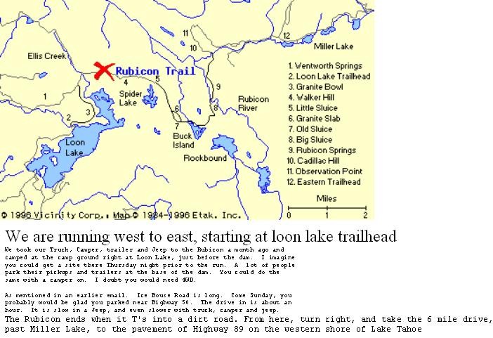
Directions to the Rubicon:
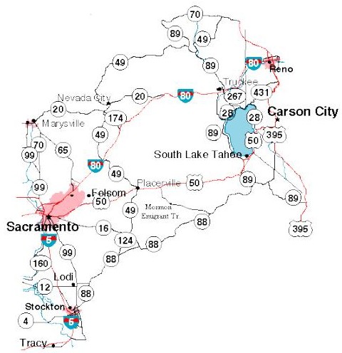
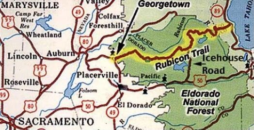
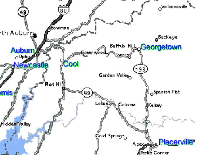
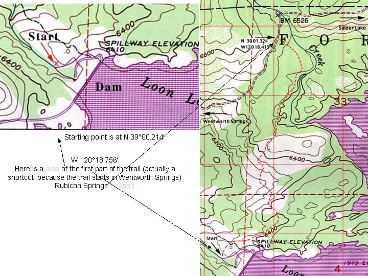
To get to Loon Lake, take Ice House Road north off Highway 50. Ice House Road is about 20 miles east of Placerville and about 40 miles west of South Lake Tahoe. If I recall, it is 32 slow miles from Highway 50 to Loon Lake. It takes about an hour. Follow the signs, it is well marked. About 25 miles down Ice House Road, you will see a sign to the right for Loon Lake. Take this paved road in and stay to your left as it Y's at one location. Follow the road all the way back past some formal and informal camp grounds until you are driving on the dam (this is the second dam you cross, the first is paved, this last one is gravel) Follow the dirt road down below the dam, past the spillway to the slabs. Take HWY 50 East (Sacramento - Lake Tahoe) In Placerville (37 miles from SAC) go north on HWY 49 Go 1/2 mile and turn right onto HWY 193 (12 miles to Georgetown). or Take HWY 80 East (Sacramento - Lake Tahoe) In Auburn (34 miles from SAC) go south on HWY 49 In Cool (6 miles ) turn left onto HWY 193 (14 miles to Georgetown). On either freeway the drive from Sacramento to Georgetown takes about one hour. Parts of Hwy 49 and 193 have steep grades and feature numerous twists and turns.Links:
http://www.4x4now.com/trcar.htmhttp://www.rubicon-trail.com/Rubicon/map.html
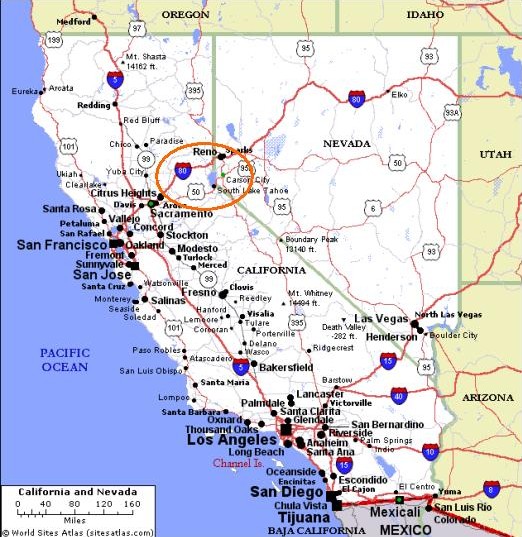
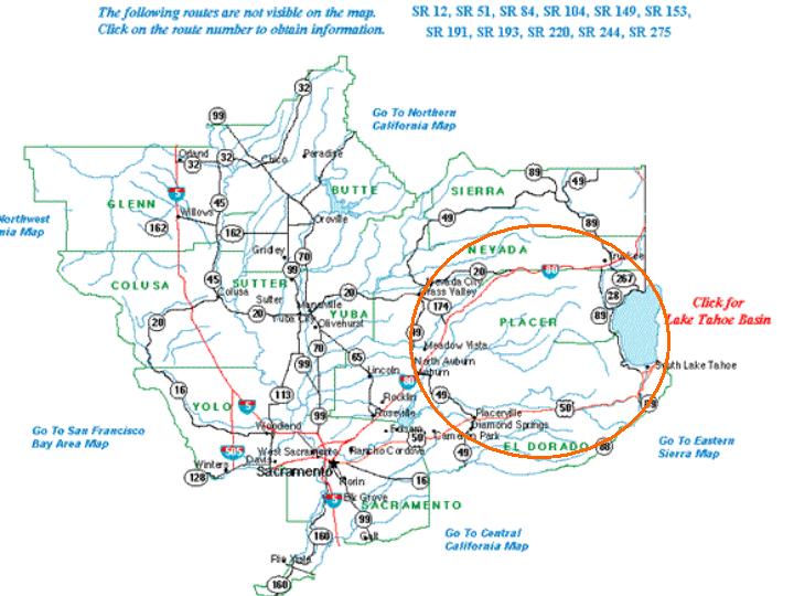
Maps: